-
0
Projects Completed
-
2
Years of Experience
-
0
Talks · Trainings
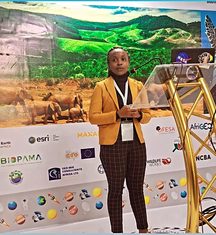
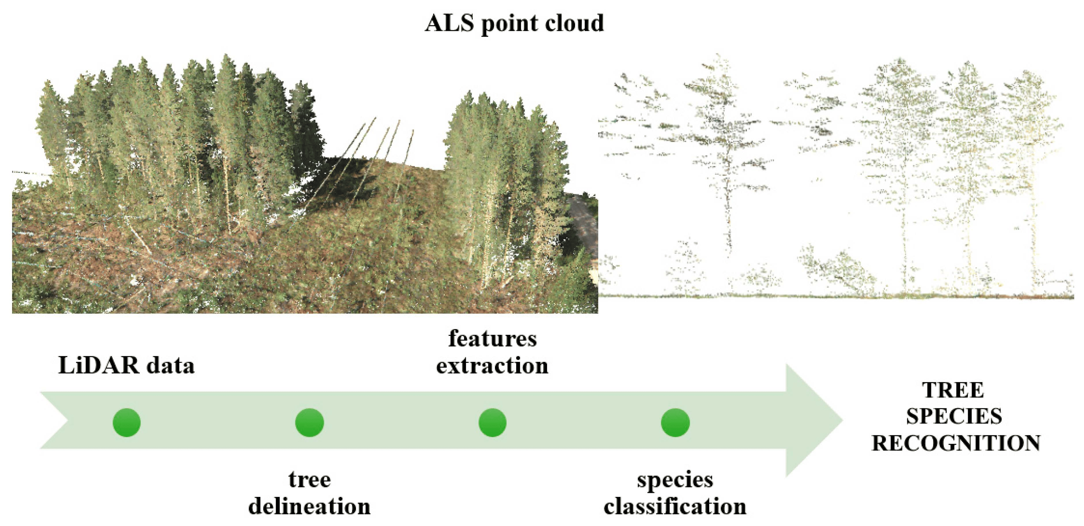
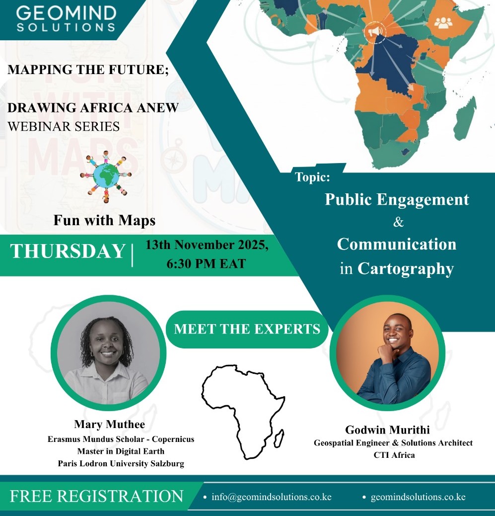
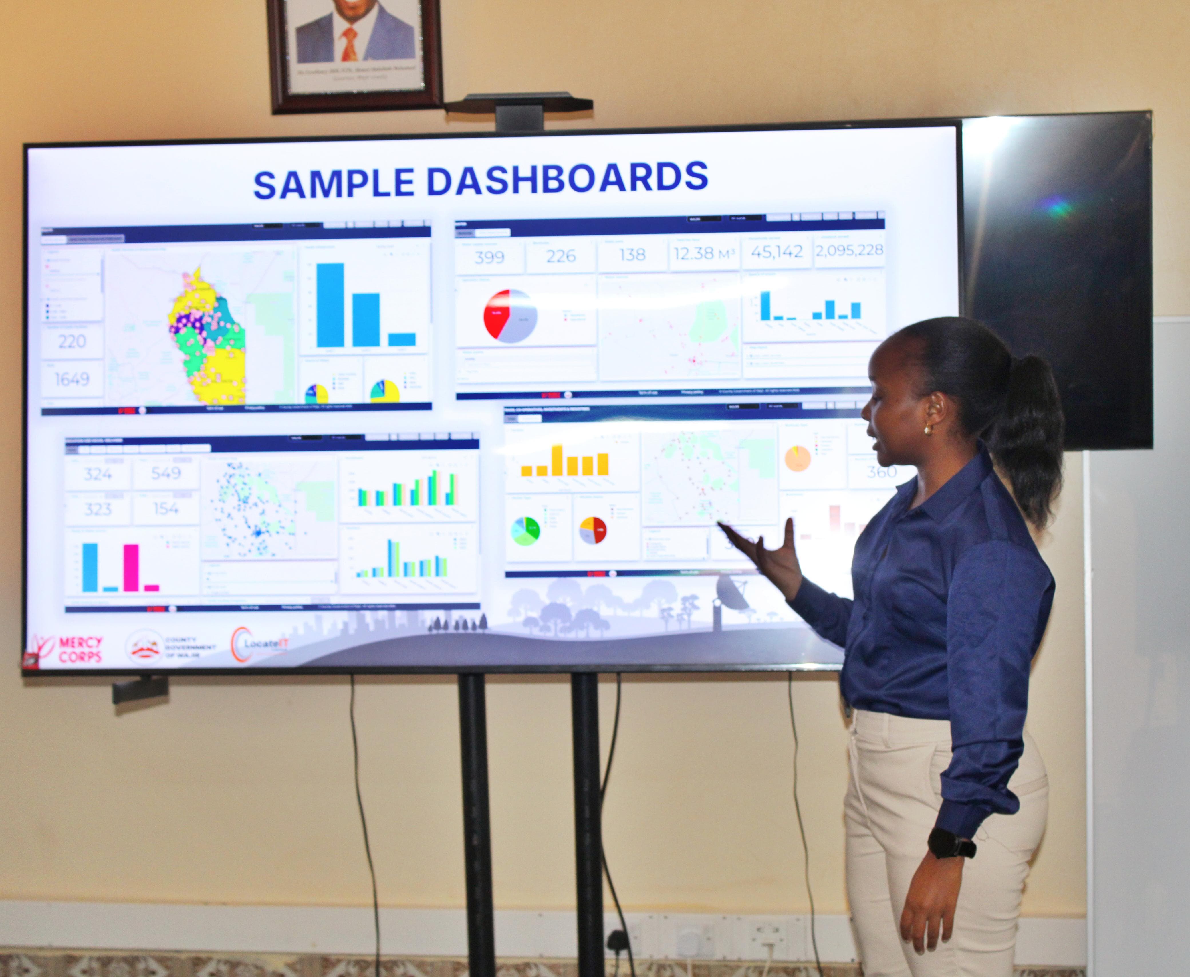
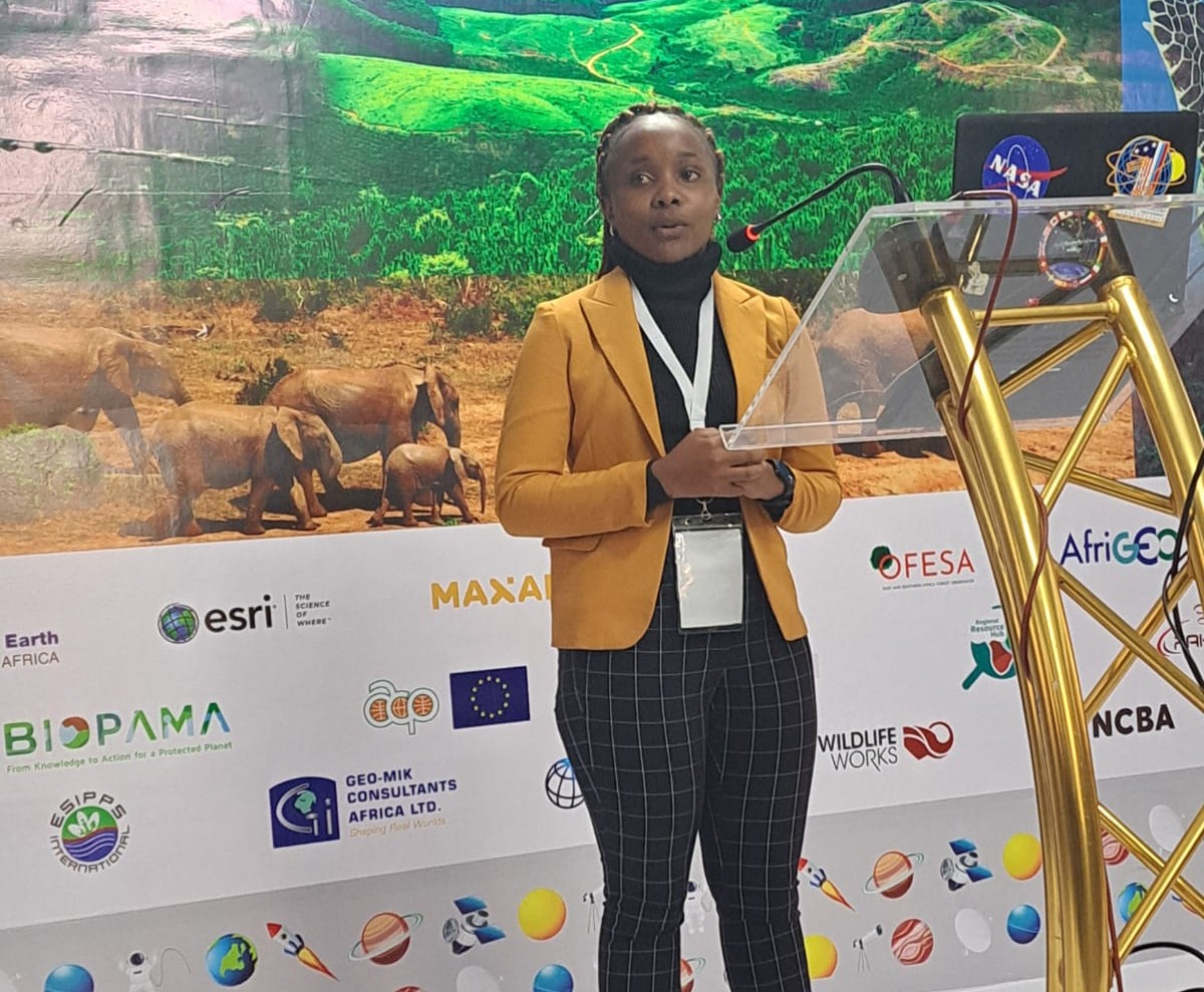
Mary Muthee is a Spatial Data Analyst who turns earth-observation and location data into
decision-ready intelligence. She builds end-to-end analytical workflows from data acquisition and
cleaning
to feature engineering, modeling, and clear communication.
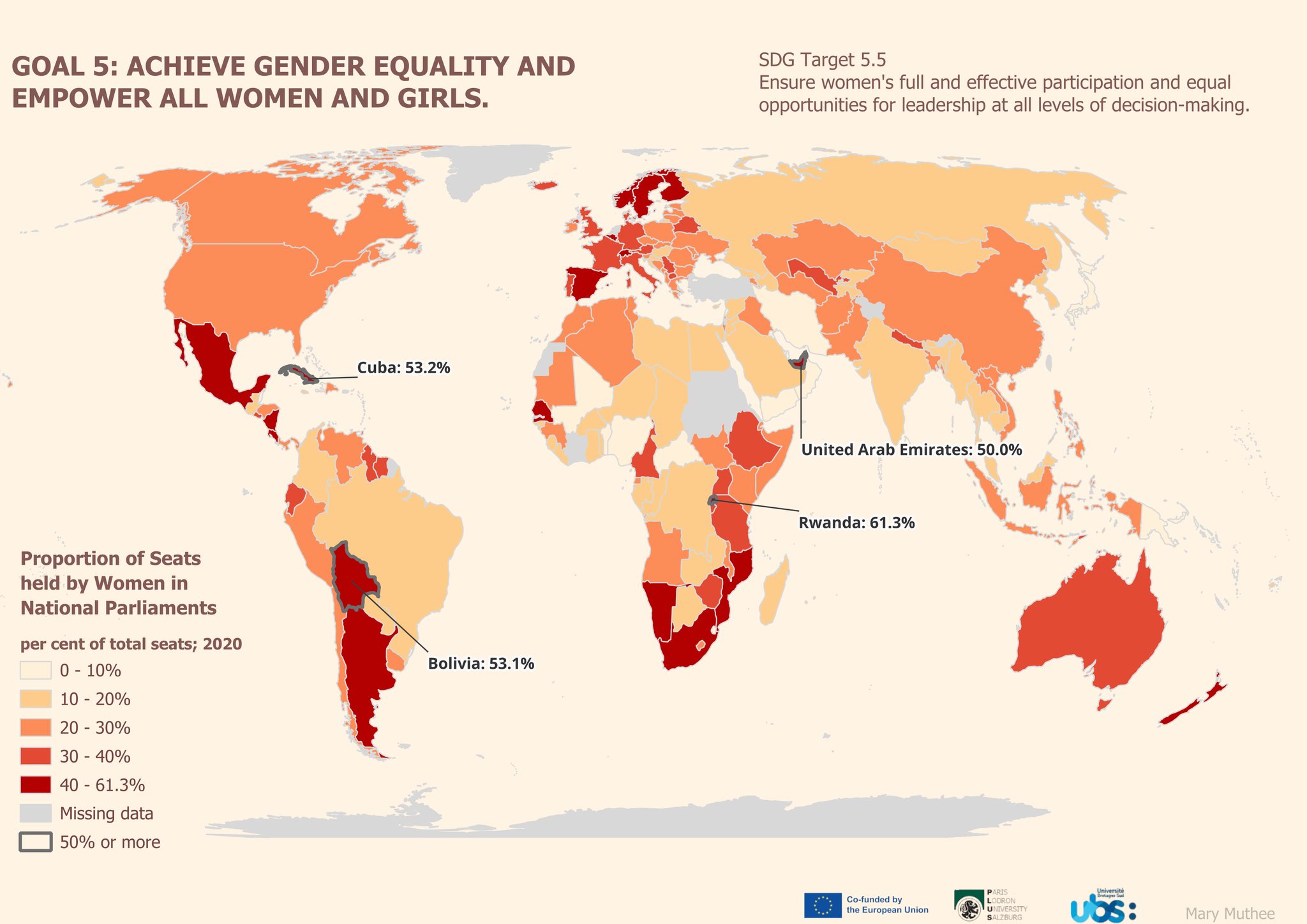
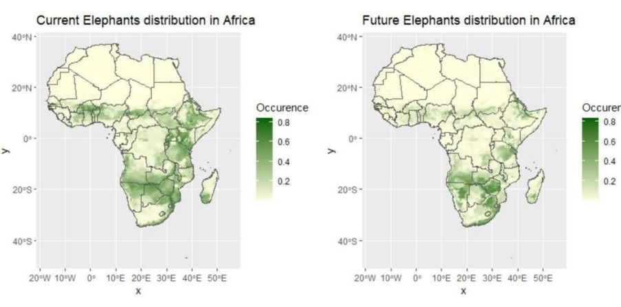
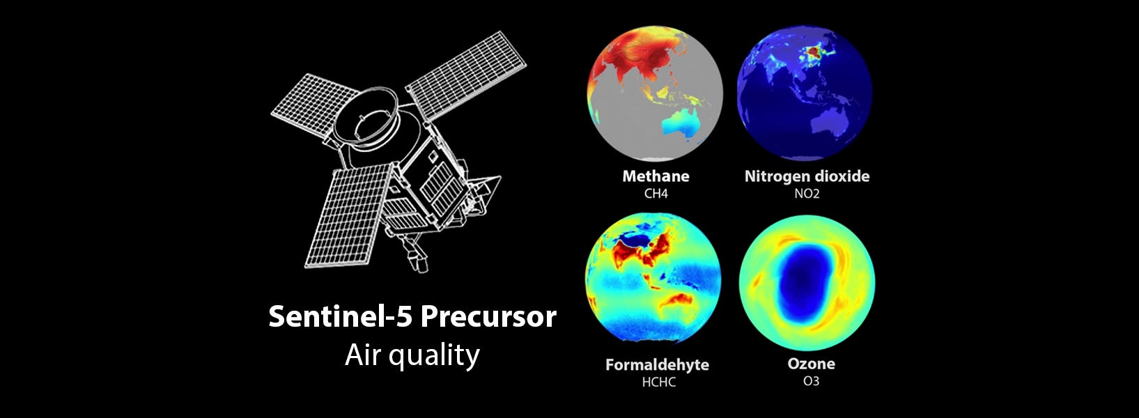
Over the past three years, she has worked across diverse sectors, including humanitarian response,
agriculture,
disaster risk management, public health, environmental management, and climate resilience. Her focus
is to apply
geospatial technology to help build more resilient communities and advance the Sustainable
Development Goals (SDGs).
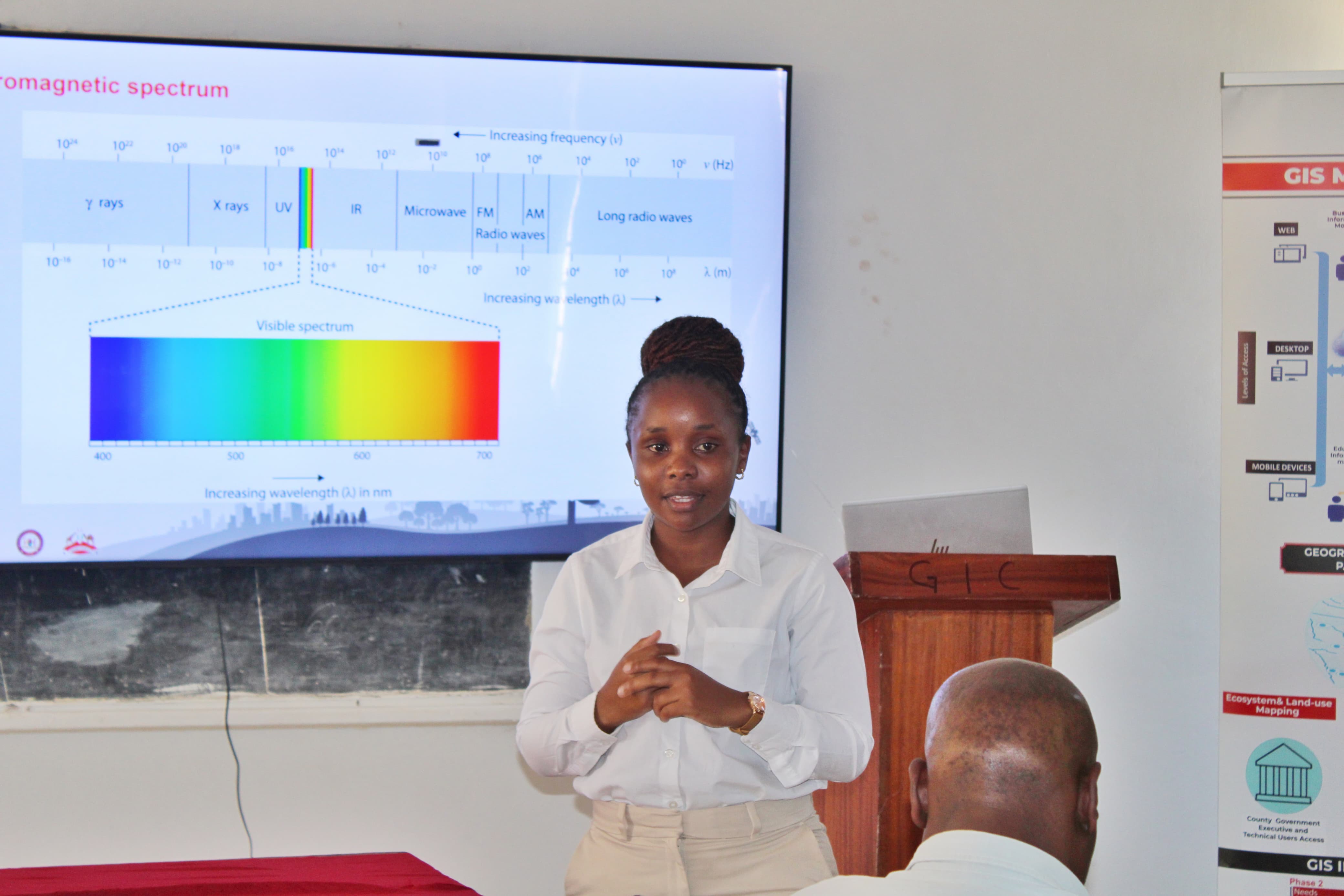
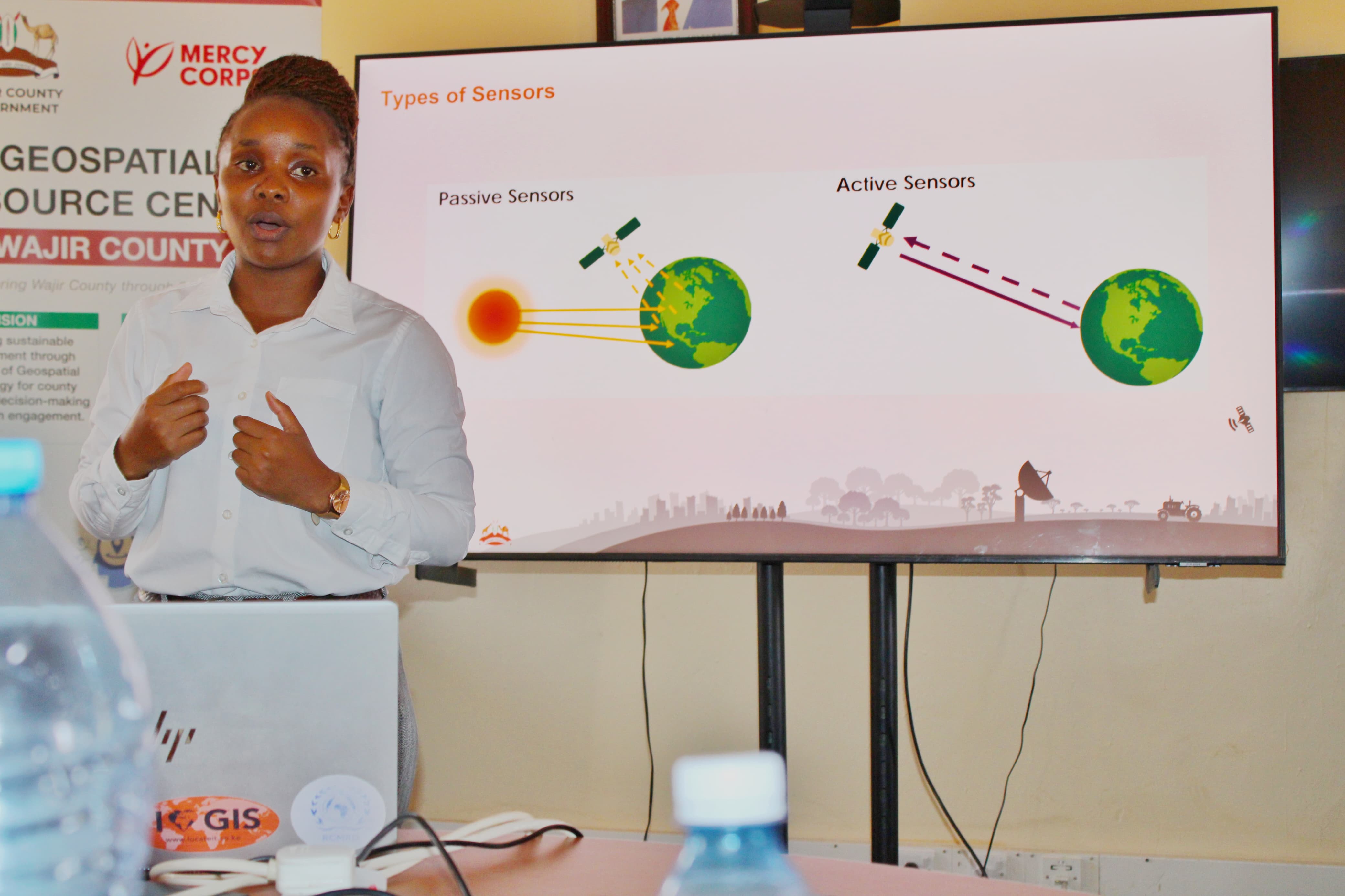
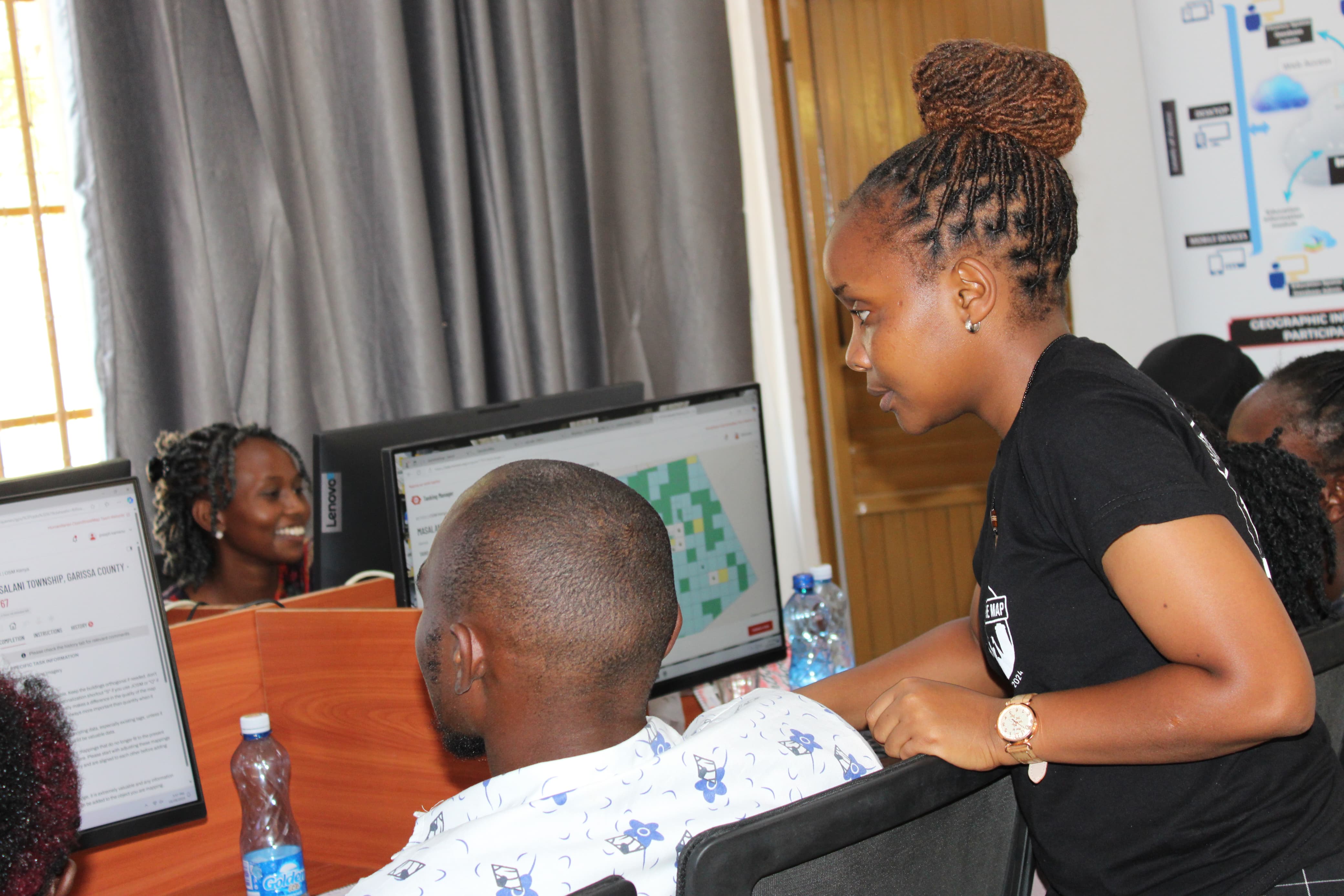
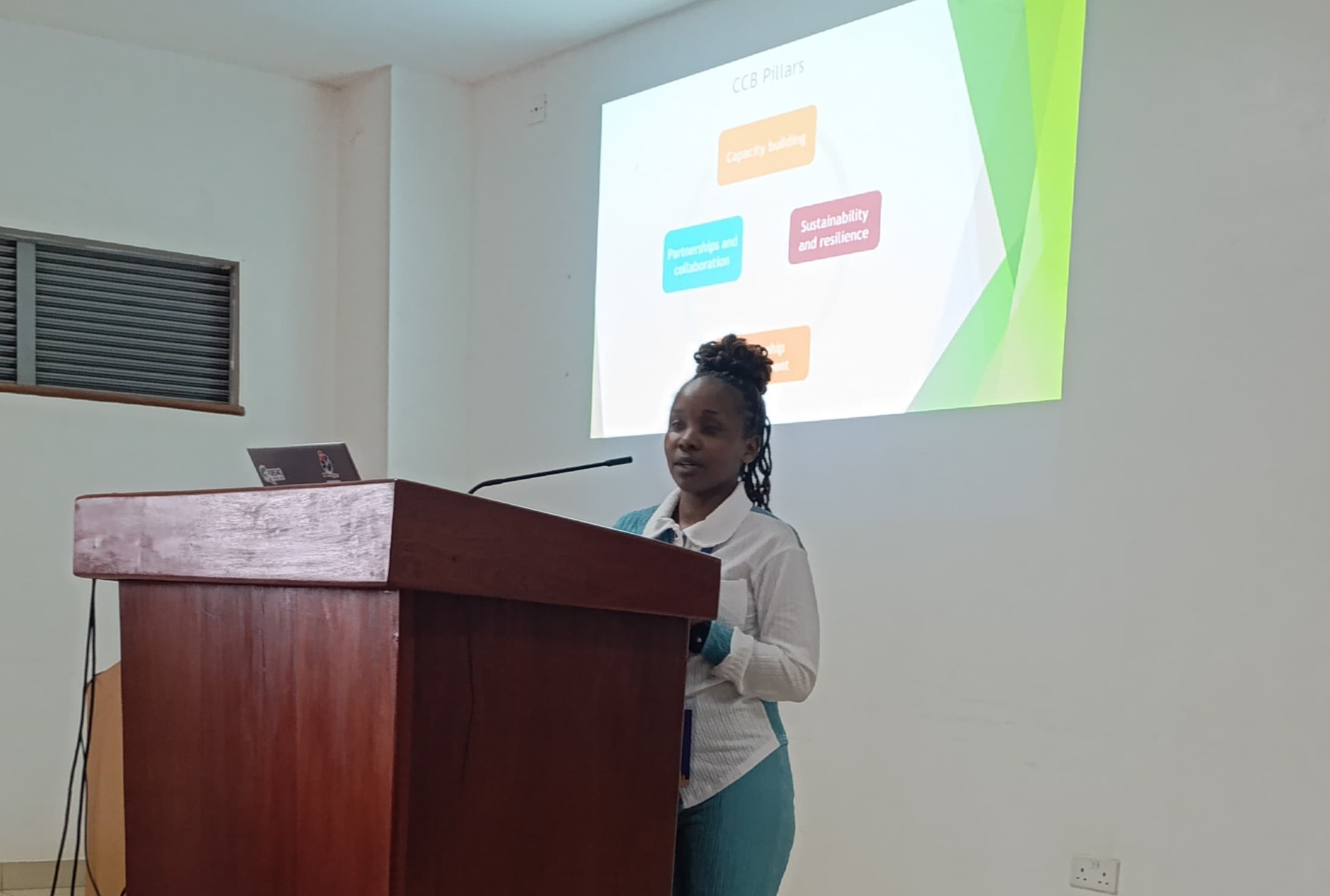
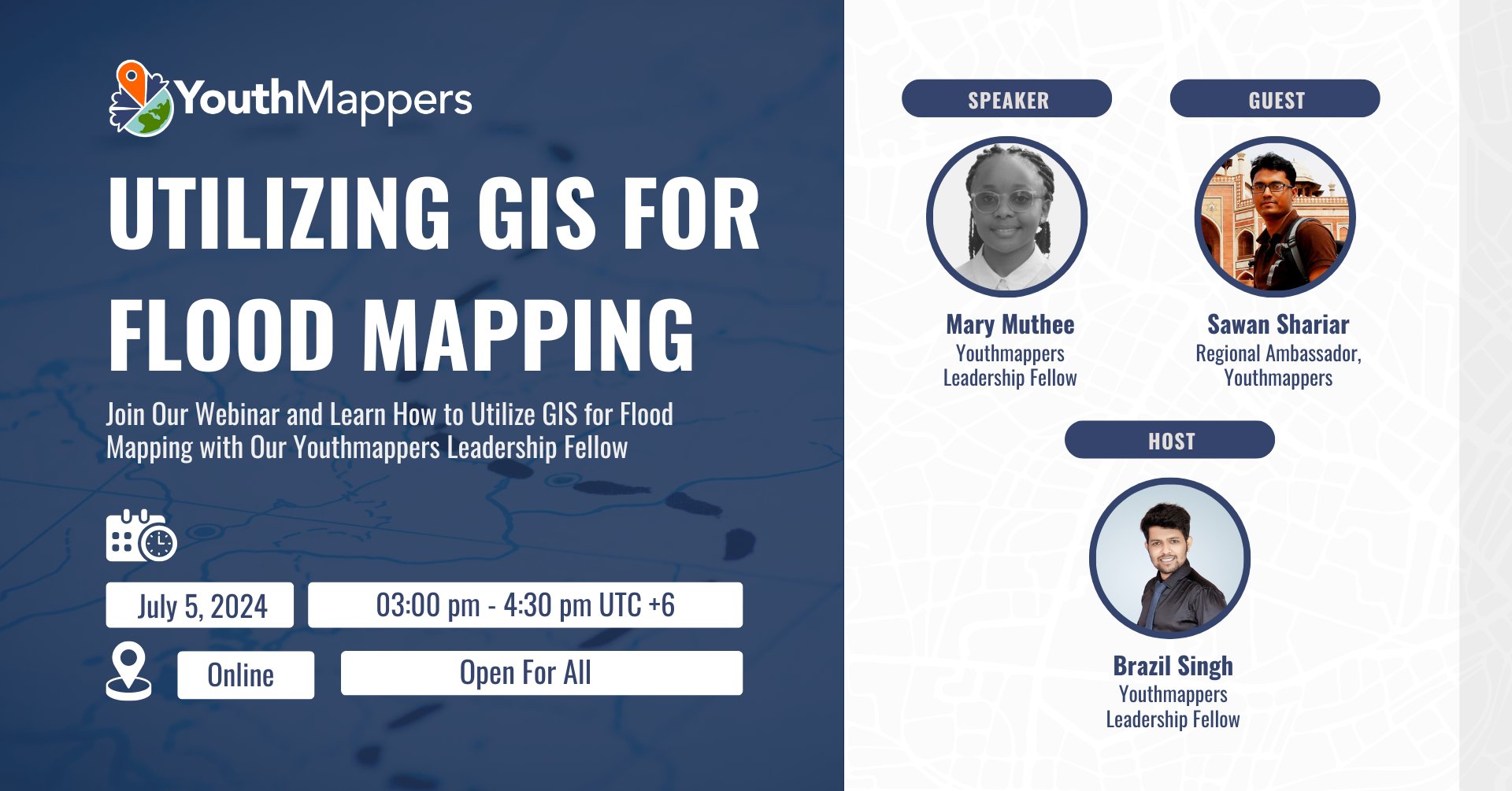
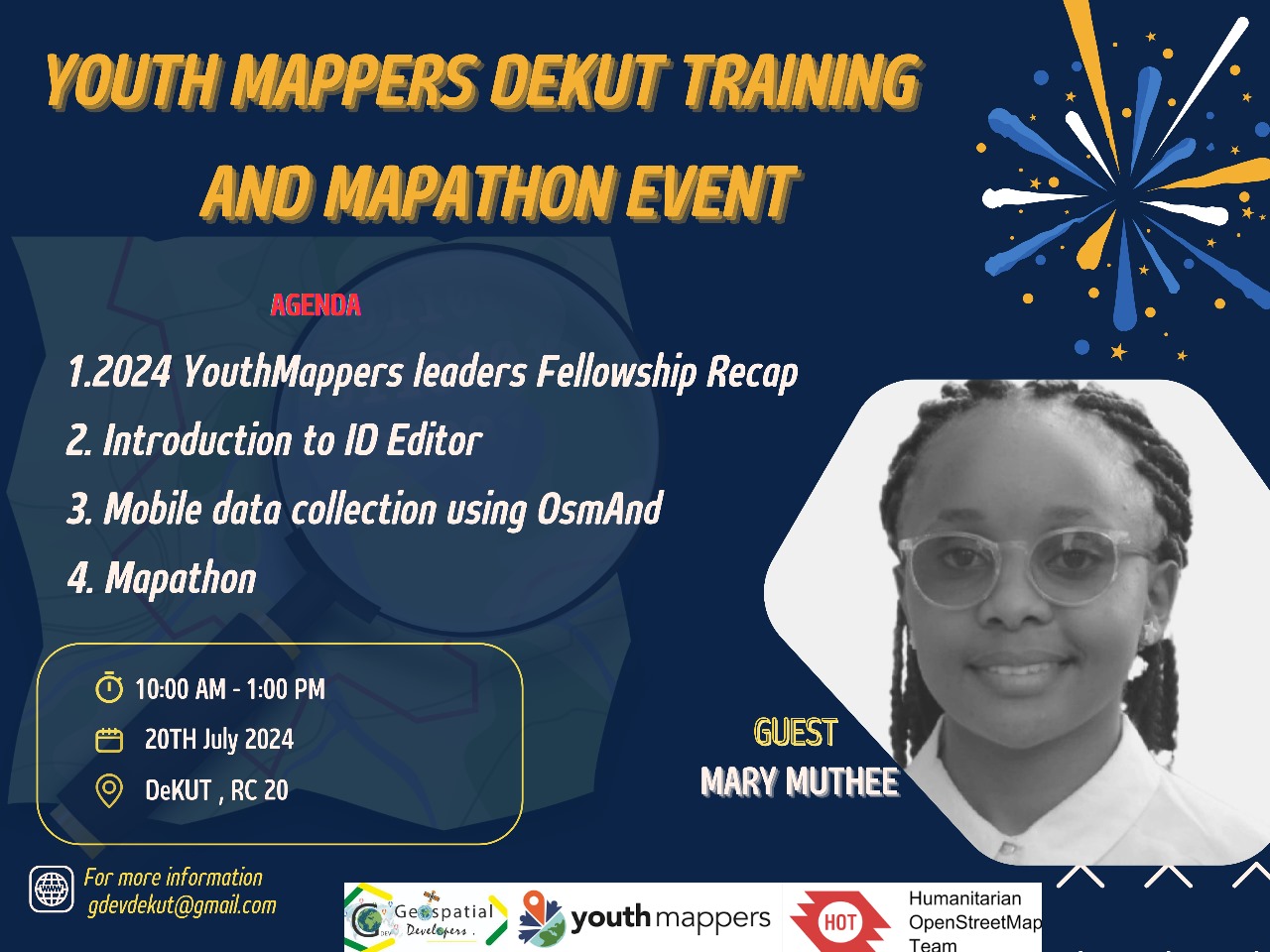
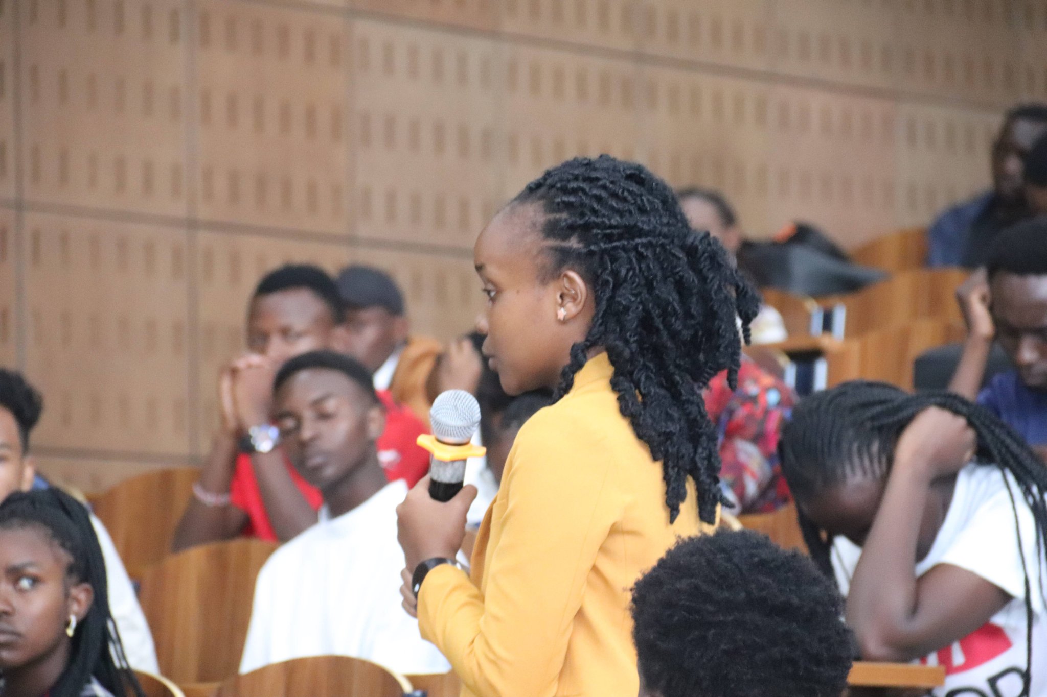
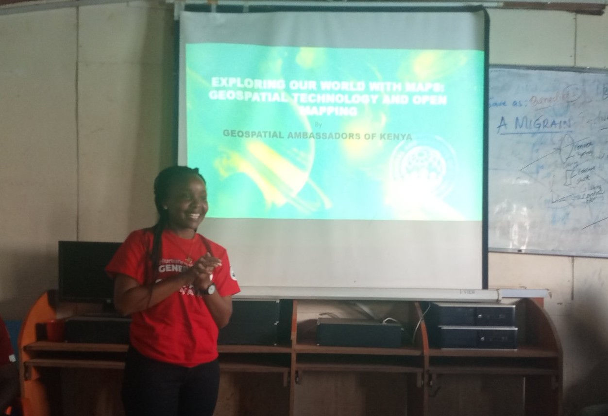
Mary is also committed to community capacity building. Through trainings and mentorships, she
demystifies geospatial
analysis and shows how spatial evidence can inform real decisions from field operations to policy.
Outside her professional work, she enjoys hiking, bowling, and cycling.