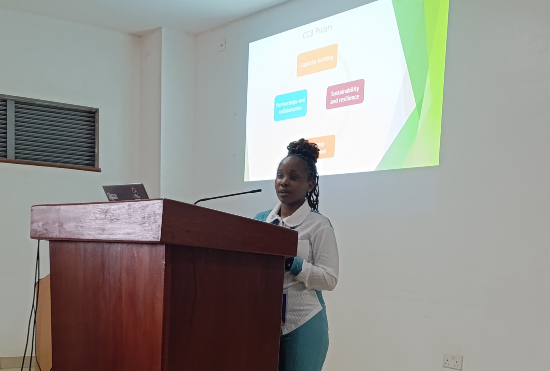
Hello, I am
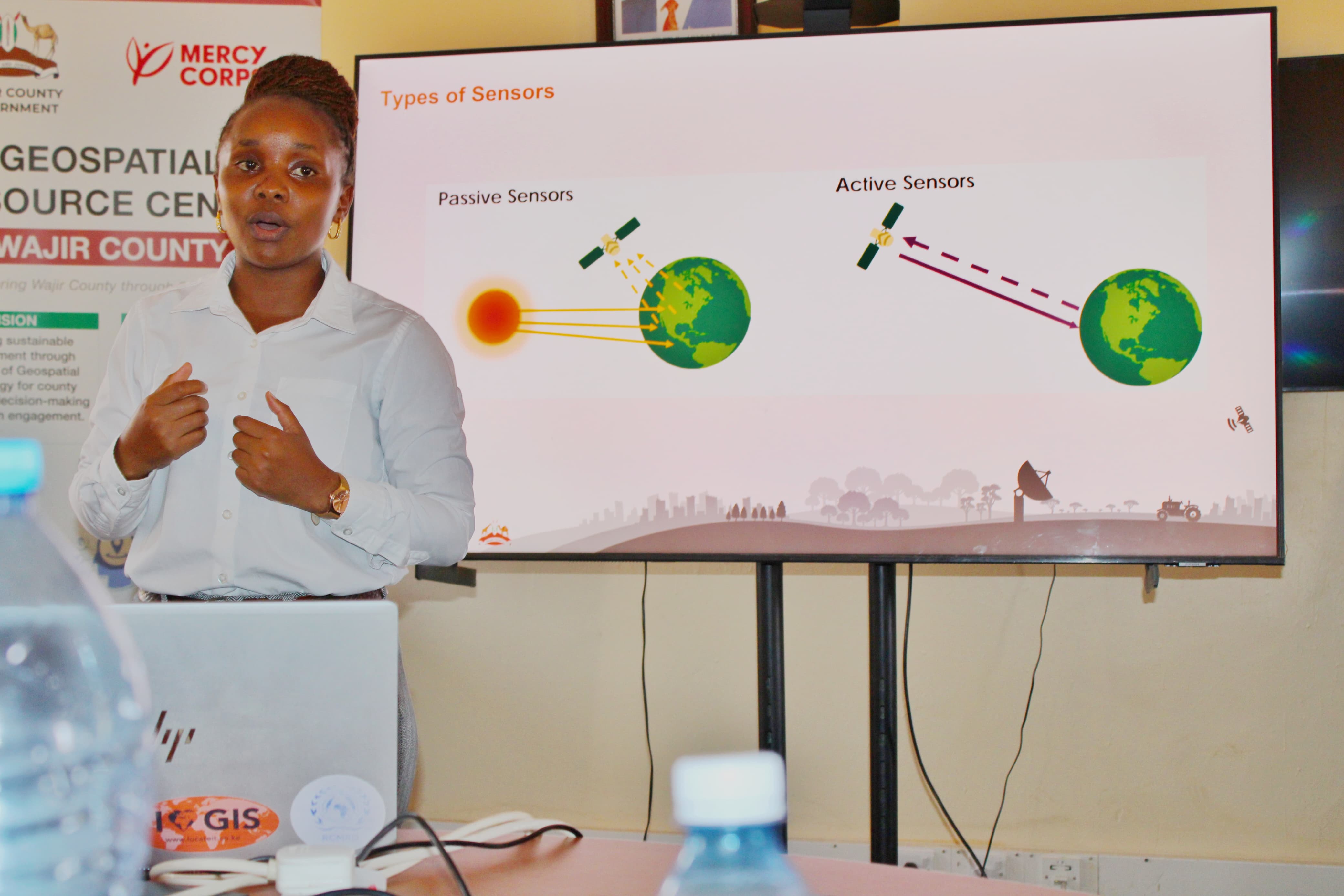
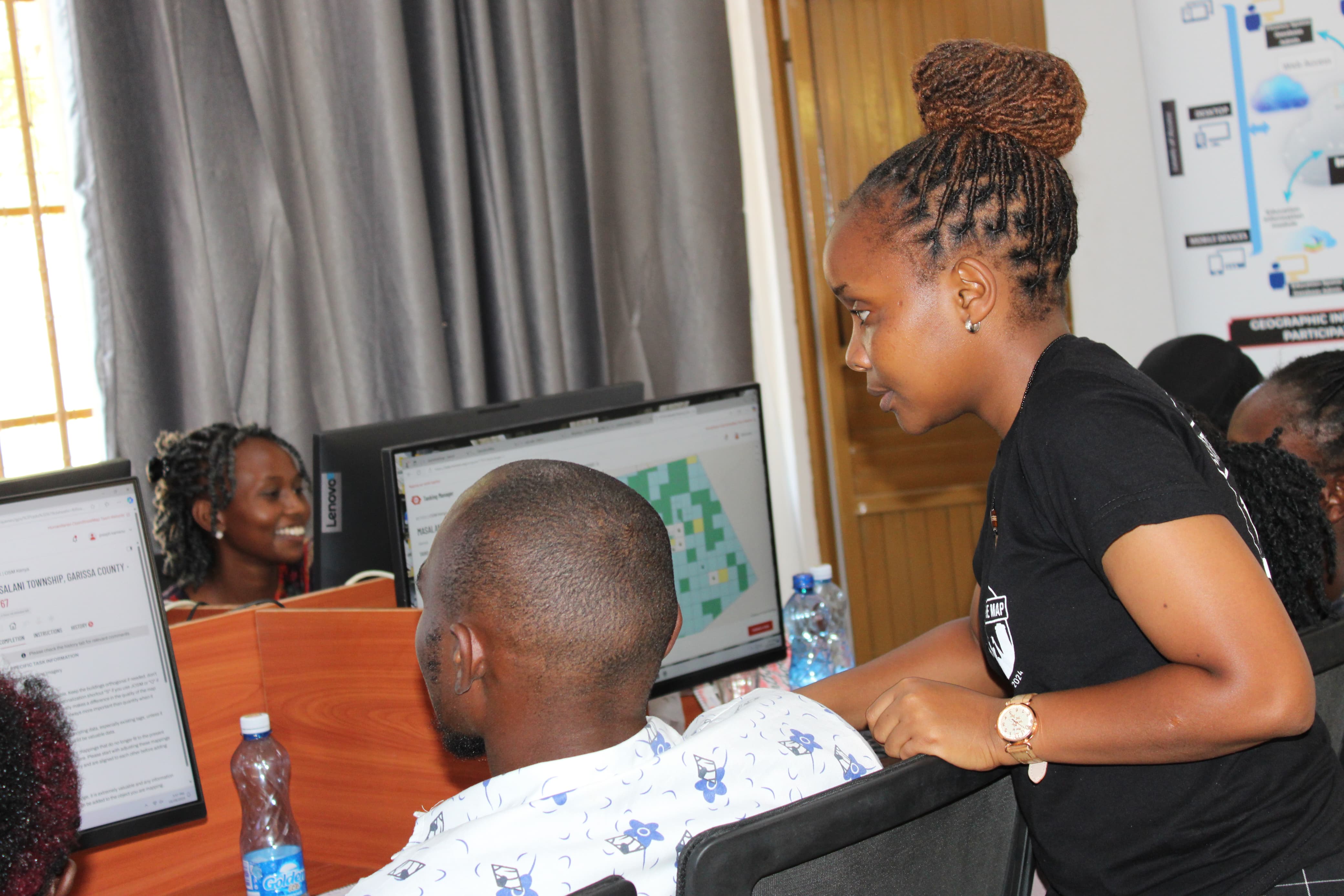
A Geospatial Data Scientist
I turn earth-observation and location data into decision-ready intelligence building end-to-end geospatial workflows that help people and organisations understand their world and act on it.
Open to collaborations and research opportunities
Who I Am
Mary Muthee is a Spatial Data Analyst who builds end-to-end geospatial workflows from data acquisition and cleaning, through feature engineering and modeling, to clear communication that drives real decisions.
Her work spans humanitarian response, agriculture, disaster risk management, public health, environmental management, and climate resilience, with a focus on advancing the SDGs through evidence-based geospatial intelligence.
Beyond analysis, Mary actively invests in community capacity building. Through trainings and mentorships, she makes geospatial tools accessible and shows how spatial evidence can inform decisions at every level from field operations to policy.
My Story
My Work


Public Speaking


Recognition


Toolbox
Say Hello
Whether it is a research collaboration, speaking invitation, training engagement, or just a conversation about geospatial work, my inbox is open.